
Manchester Neighbors by Parcel
For a block-level question, begin with the parcel rather than a name. The county GIS identifies shapes, roads, tax maps, and planning layers. Tax detail describes each parcel one at a time. SearchNG adds recorded instruments, while FastTrackGov can add a public permit or violation trail. Each tool answers a different question about Manchester neighbors, and none creates a complete occupancy list.
| Block record | What it can show nearby | Access and limit |
|---|---|---|
| Ocean County GIS | Parcel polygons, roads, tax maps, zoning, flood and rights-of-way | Public map; parcel shapes are not surveys |
| Ocean tax search | Individual block-lot detail, value, sale clues, mailing and situs fields | Public separate lookup for each parcel |
| SearchNG deeds | Recorded parties, legal links and instrument history | Public index from 1977; images can have separate limits |
| FastTrackGov | Address, block-lot, postal-code, contractor, permit or violation leads | Public search; archive start is not stated |
| Voter and library sources | One-person registration status or historical address context | Not a free whole-block resident list |
A tax owner is not automatically the person at the property. The mailing address may name a representative or another location. A deed identifies a recorded transaction. A permit identifies an application or contractor trail. Keep those facts distinct from current occupancy when assessing the records around your Manchester address.
Map Manchester Neighbors Step by Step
Adjacency is a map question before it is a records question. Select the starting parcel in the Ocean County GIS or ArcGIS Hub, record its parcel identifier and block-lot information, and inspect polygons that share a boundary. Then run each neighboring parcel through the county tax detail. Corner parcels can touch more than two street fronts, and a visual gap may be an easement, right-of-way, lake, common area, or paper street rather than an unlisted household.
- Locate the known address and confirm the parcel against the municipality, tax map, and block-lot information.
- Click each touching polygon and record its separate parcel identifier rather than copying one parcel's details across the block.
- Open the Ocean tax detail for every adjacent parcel, keeping the situs field, mailing field, class, sale clues, and assessment fields separate.
- Use SearchNG only after identifying the owner or legal parcel description, then compare party role, instrument type, and recorded date.
For a full named-road record chain rather than the immediate radius, use the Manchester street directory. The block method stays focused on touching parcels and does not assume every address on the road is a neighbor.
Manchester Parcel Tax Records
The Ocean County tax search accepts municipality, block, lot, qualifier, property class, and property location. Current parcel detail can display a deed date and book or page, property class, land and improvement values, map, year built, building description, tax amount, assessment history, prior parcel identifiers, prior sales, and grantor or grantee location fields. The public landing page does not advertise a dedicated owner-name field, a whole-street export, or a one-click block census.
| Situs address | The property location used to keep the selected parcel anchored. |
|---|---|
| Mailing address | A tax-contact field that can differ from the property location. |
| Block, lot and qualifier | The parcel key used to connect GIS, tax maps, deeds, and permits. |
| Deed and sale fields | Clues for a recorded transaction, not a statement of current household membership. |
Insider tip. Capture the adjacent parcel IDs in GIS first, then validate each one in tax detail before searching a deed. This keeps the map geometry, tax record, and title trail in the right order.
When a mailing field differs from the situs, it may offer another research lead. It does not settle who is living in the structure. That distinction matters for a block search because one parcel can be held by an estate, trust, company, or representative.
Manchester Neighbors Through Deeds
SearchNG gives a nearby parcel a recorded time layer. After tax detail identifies an assessed owner and the block-lot key, search the owner as a grantee and compare the legal description, town, instrument type, recording date, book or page, and linked records. A current owner can be a trust, estate, company, or a person whose mailing field is elsewhere. Record the party role exactly as the index labels it, because an assignment, release, correction, or mortgage is not necessarily a change in possession.
For a backward trace, find the prior grantor in the current instrument, then search that party as a grantee in the preceding period. Validate each transition with the legal description and parcel key rather than a street label alone. SearchNG's public official-record index reaches back to April 1, 1977. Earlier links require the County Clerk, State Archives county deed microfilm, FamilySearch's New Jersey wills and deeds collection, or the Ocean County Historical Society. A deed can document a transaction involving a neighbor's parcel, but it cannot identify every person who later occupied the property.
Manchester Neighbors and Voter Data
A block is not a voter list. New Jersey's state tool is designed to check one person's registration status, and its live field layout was not captured during the research. It should not be described as a public street or block browse. The public voter-data boundary also withholds signatures, Social Security numbers, driver or non-driver identifiers, and protected addresses. Participation data is not a record of ballot choices.
Ocean County can process a defined voter-file request through a signed OPRA request and Election Order. The county says processing usually takes seven to ten working days, with possible election-cycle delay. The request should define the municipality, relevant election or district, desired fields, and preferred format. County rules also say voter-list information cannot be used for commercial or charitable solicitation. A lawful request does not turn registered voters into a published neighborhood roster.
Manchester Neighbor Association Contacts
Community organizations are useful context for a development or lake area, not proof that a person belongs to a household. Their public pages can identify a trustees office, community material, forms, alerts, bylaws, covenants, events, or a development name. Compare that context with the parcel map and tax sheets. Do not infer membership from a parcel, mailing label, or a neighborhood name.
| Organization | Public material | Appropriate use |
|---|---|---|
| Pine Lake Association | Meetings, events, notices, membership application and lake-community activity | Understand civic and lake context, then contact the organization through its public channel |
| Crestwood Village I | Trustees-office contact, resident resources, newsletters, forms, alerts and community material | Identify public association resources without treating them as a roster |
| Crestwood Village V and VI | Published governance documents, forms, bylaws or covenants | Understand development and association context, not household membership |
Pine Lake Association publishes the organization material described above.
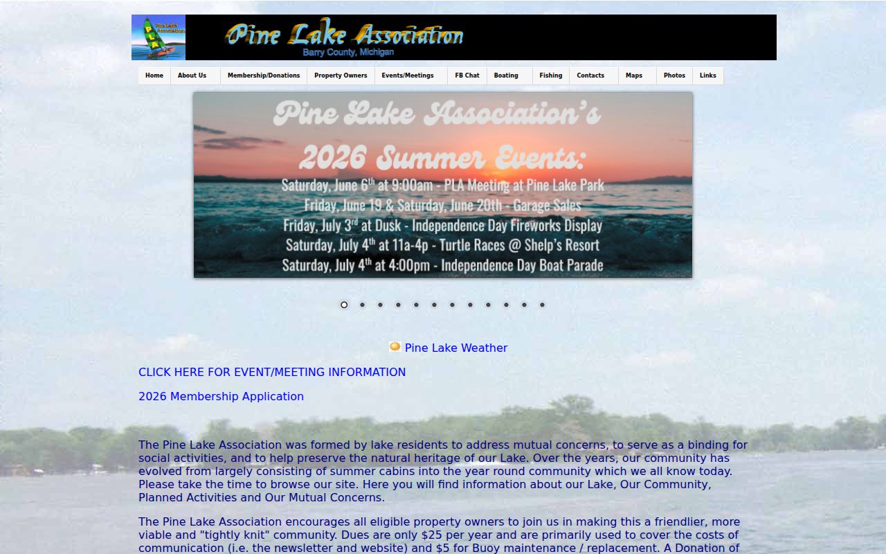
The association's public content can explain the lake community's activities and mutual concerns. It does not provide a public list of nearby households.
Crestwood Village I is the public source for its trustees-office and community-resource material.
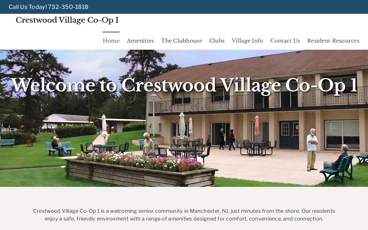
Newsletters, forms, alerts, and public contacts can be useful for a development's context, while access-controlled resources and membership remain separate matters.
Manchester Neighbor Records Compared
Official records and commercial neighbor-lookup categories serve different purposes. The official source documents a limited government or organizational fact and makes its custodian clear. A commercial category can combine public records, marketing data, and purchased datasets, which can create stale addresses, duplicate profiles, same-name merges, and unclear source dates. Verification should return to the official keeper.
| Source category | Strength | Boundary |
|---|---|---|
| Official parcel, tax, deed or permit record | Connects a parcel or recorded event to named fields and dates | Does not establish all occupants or relationships |
| Official voter or association channel | Provides a narrow status or organization contact under stated rules | Protected information and membership are not open block data |
| Commercial neighbor-lookup category | May offer discovery leads across mixed datasets | Can be stale or merged; use its opt-out process separately and verify at the custodian |
If a commercial entry conflicts with tax, deed, court, voter, or association evidence, preserve the conflict and ask the original keeper about the field in question. An opt-out from a commercial category does not amend a government record.
Manchester Parcel Map Limits
A parcel polygon is not a survey or legal boundary. Ocean GIS layers are valuable for identifying parcels, easements, rights-of-way, zoning, flood context, tax maps, and municipal lines, but the county cautions that its data is maintained by custodians and should not replace a legal survey. A road crossing a community label can also have a postal label that does not match the township boundary.
Keep the municipality, parcel key, legal description, and map evidence together. A visual strip between homes might be an easement or common area. A blank or small polygon might be a lake, paper street, or planning feature. A Manchester block search needs both geometry and tax or deed confirmation for each actual parcel.
Privacy Limits for Manchester Neighbors
Public records leave important gaps by design. Tax ownership can omit non-owner household members. A mailing address can represent a trustee, agent, or owner elsewhere. Utility use and delivery data are not public directory fields. New Jersey's Address Confidentiality Program gives eligible people a substitute legal address and mail forwarding, while Daniel's Law can remove or redact covered officials' and family members' government-web home addresses and unpublished phone numbers.
New Jersey's Address Confidentiality Program explains the official substitute-address protection.
An address that is absent or different in an official system may reflect protection. It is not an invitation to ask a local employee to reveal the address.
New Jersey's Office of Information Privacy is the official Daniel's Law resource.
Daniel's Law can affect parcel, tax, and title-search displays, so a blank name is not proof that a parcel has no owner.
Lawful use. Information about people on a Manchester block is for personal, lawful purposes such as getting to know the area, family history, civic curiosity, or checking a record. Never use it to stalk, harass, intimidate, monitor, impersonate, or harm anyone.