
Walk a Manchester Street by Address
Start with the exact street label, number, community name, and postal city shown on the record in hand. Manchester is a broad Ocean County township, not a compact numbered grid. Its official street index helps place roads around Route 70, Whiting, Pine Lake Park, Crestwood, Cedar Glen, Lake Ridge, and Pine Ridge, but a community label is not a parcel boundary. Use the county map and tax systems to turn the address into a municipality, block, lot, qualifier, or map reference before drawing conclusions about the street.
- Search the Ocean County tax portal by Manchester municipality and property location, or by block and lot when the address format fails. Save the assessment year, property location, mailing field, and parcel identifiers.
- Open the county GIS layers and identify the parcel. Record the map sheet and adjacent polygons, then check each parcel separately rather than assuming a visual row of parcels is a household list.
- Use the assessed owner or legal identifiers to narrow the Ocean County SearchNG official-record index. Read the party role and instrument type before treating a document as a transfer.
- Use the New Jersey individual voter lookup only to confirm a person’s registration status and locality when allowed. A complete county voter-file order follows the signed OPRA and Election Order process, not a public street roster.
- For an older address, compare library directories, maps, newspapers, and the deed legal description. Each source has its own date and purpose, so retain them as separate evidence.
Note: A recorded owner, a tax mailing address, and a person at a street address are different facts that require independent support.
Manchester Street Directory Record Layers
Address-keyed sources in Manchester overlap, yet none is a complete roster of everyone on a road. The tax record supplies the parcel key. GIS gives location and planning layers. SearchNG follows recorded instruments. FastTrackGov dates municipal applications. Voter and historic sources add carefully limited checks. Keeping the source type beside the result prevents an address search from becoming a claim that the public records do not support.
| Address record | Custodian | Street evidence | Access path |
|---|---|---|---|
| Tax parcel | Ocean County Board of Taxation | Assessment, owner and mailing fields where displayed, situs, block/lot, sale and assessment history | Public portal by municipality, block, lot, qualifier, class, or property location |
| GIS parcel | Ocean County GIS and NJGIN | Parcel shape, adjacent polygons, tax-map context, zoning, flood, easement, and right-of-way layers | Public viewer and downloads; polygons are not surveys |
| Recorded instrument | Ocean County Clerk | Parties, document type, recording date, book/page, consideration, legal references, linked documents | SearchNG public index from April 1, 1977; images or printing can have account/payment limits |
| Permit or violation lead | Manchester Inspection Division | Application, status, type, contractor or agent, street, postal code, block, lot, and qualifier | FastTrackGov public search; online archive start is not stated |
| Voter or historic source | NJ Elections, Ocean County, OCL | Registration status or a dated directory and newspaper entry | Individual lookup, lawful county request, library databases, microfilm, or archive research |
The strongest street directory workflow carries the legal parcel key from one system to the next. A street spelling may vary across a historic directory, a postal label may point to another city, and a tax mailing address may belong to an owner’s office or representative. Block, lot, qualifier, map, and legal-description fields provide the steadier bridge.
Manchester Street Tax Parcels
The county tax search exposes Municipality, Block, Lot, Qual, property class, and Property location. Municipality and class are selectors; the other fields are text inputs. Select Manchester or Mnchstr, try the property location, and then use block and lot when a unit, suffix, or old address leaves an uncertain result. The tax landing page does not show a dedicated owner-name field, so parcel detail and the Clerk’s party search carry the name portion of the work.
| Tax-search field | Use on a Manchester street |
|---|---|
| Municipality | Choose Manchester or Mnchstr to set the local tax jurisdiction. |
| Property location | Enter street address text when known; no whole-street export is advertised. |
| Block, lot, qualifier | Use legal parcel identifiers copied from a tax map or GIS parcel. |
| Property class | Limit results by the portal’s class selector when useful; MOD IV labels describe the class vocabulary. |
A sample county parcel card showed separate location and mailing addresses, deed date and book/page, property class, sale history, assessment history, and building characteristics. Those fields make a useful research ledger, but the public schema does not prove that each listed person currently occupies the situs.
Use the Ocean County MOD IV labels search to see the property-class choices that accompany the tax system.
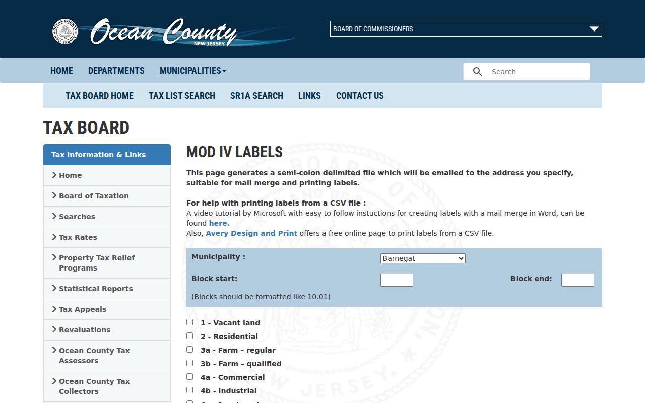
The MOD IV screen shows why a parcel class is an assessment category, not evidence that a particular household lives at an address.
Manchester Street GIS Layers
Ocean County GIS links deeds and tax information to mapped context. Turn on parcels and tax maps first, then add municipal boundary, zoning, flood, easement, right-of-way, wetlands, building-footprint, or subdivision layers only when they answer a location question. A road that appears continuous can cross a community label, a right-of-way, or a jurisdictional line. Parcel geometry tells where to look next, not who belongs to a household.
The Ocean County GIS data and map resources page provides the county entry point for these layers and downloads.
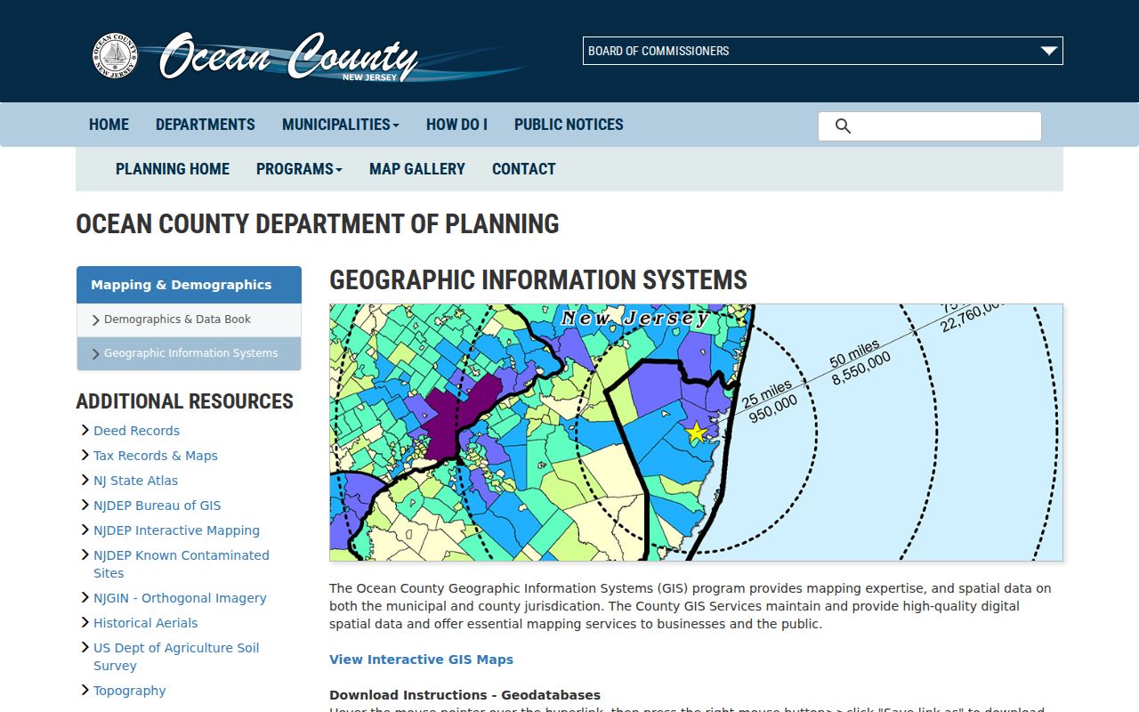
Capture the parcel identifier and map sheet from the GIS result before moving to tax detail or the deed index. NJGIN is a statewide fallback, but it repeats the caution that parcel polygons are not legal surveys or boundaries.
Manchester Street Tax Map Keys
Manchester’s tax-map index, updated January 10, 2025, links the township’s A through G and pages 1 through 5 to individual sheets such as 1.01. The map is useful when a street has multiple formats or an older record gives a block and lot rather than a full present-day address. Match the street to the sheet, then carry the municipality, block, lot, qualifier, and map information into the county portals.
Use the official Manchester tax-map index to choose the relevant sheet.
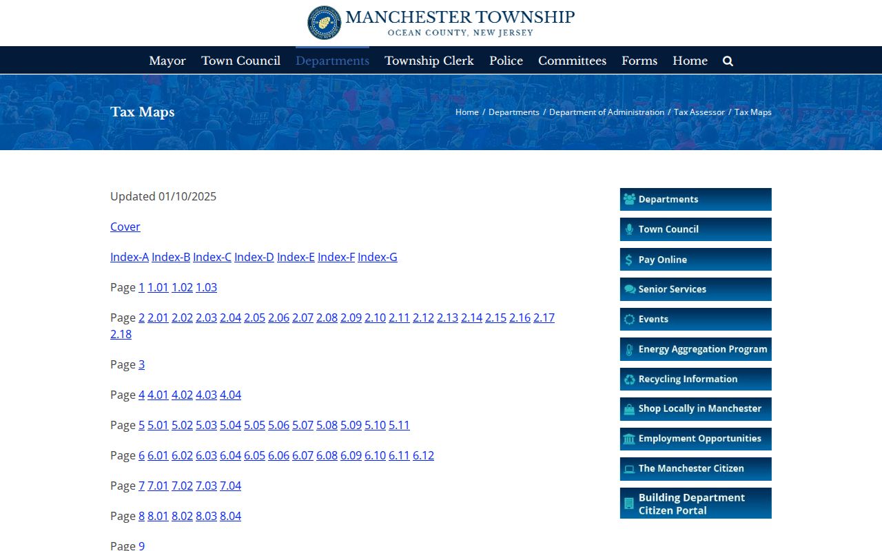
The map-sheet index helps preserve the parcel reference when a postal city or street number changes form between records.
Note: No official Manchester street-renumbering or E911 reassignment history was located, so an old address needs a map and legal-description comparison.
Manchester Street Deed Records
SearchNG is the Ocean County Clerk’s online official-record index from April 1, 1977. It supports party name, document type, date range, town, consideration, instrument number, book/page, legal-description line, map or district, case/parcel, and parcel ID. Party searching uses Last-Name First-Name without commas and begins-with behavior. More Names is the route for spelling variants, abbreviations, or alternate party forms. Two-party searching works as an AND search.
Street directory work is strongest after tax and GIS supply the parcel. Search the owner or grantee, compare the instrument’s town and legal reference, and follow linked documents only after confirming the party role. A trust, estate, company, mortgage assignment, or correction can appear in a name trail without showing a change of occupancy. Older deeds need the County Clerk counter or request route, State Archives deed microfilm through 1900, FamilySearch, or Ocean County Historical Society research.
The SearchNG help page illustrates its name variants, document searching, detail, image, printing, and linked-record controls.
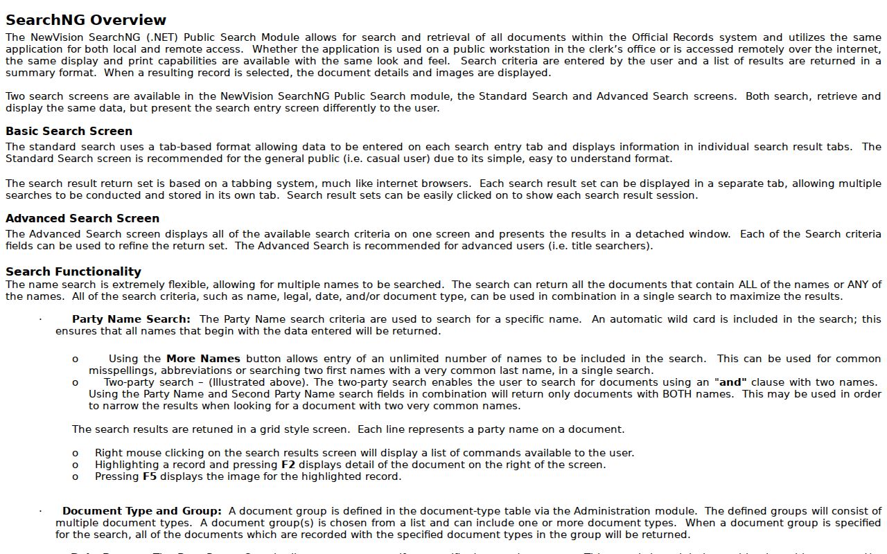
The index can supply a document lead, while image, print, cart, and account access may differ. The exact county image fee was not established in the research.
Manchester Street Permit Records
Manchester FastTrackGov adds a different address layer. It searches application date and status, application ID, violation, contractor or agent, street number and name, city, postal code, block, lot, and qualifier. Use a street number and name to narrow the first pass, then compare the result with the parcel key. A permit can date an addition, inspection, zoning issue, demolition, or other municipal activity. It does not establish ownership or a current household.
Start with the township’s FastTrackGov permit search, which links the available public application paths.
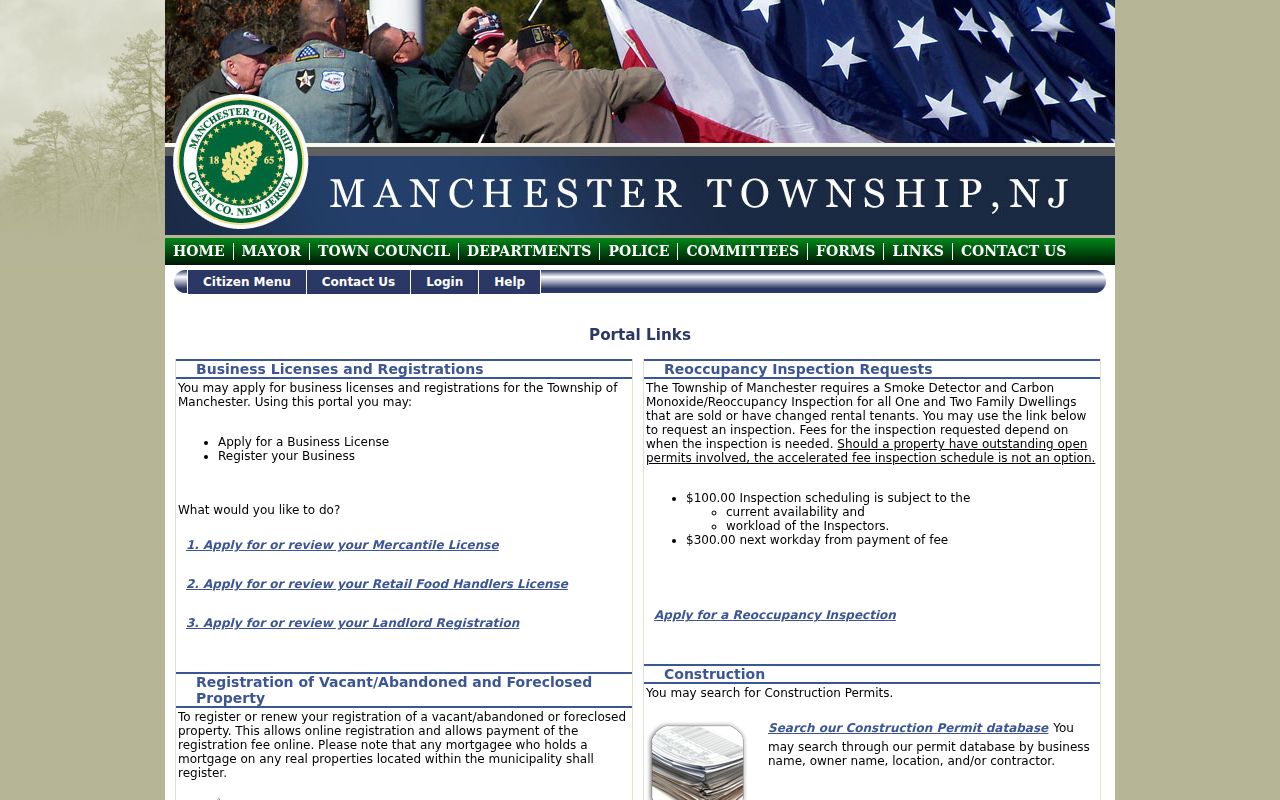
Save the application ID, status, address fields, and search date. Available sources do not state how far the online permit archive reaches.
Manchester Situs and Mailing Fields
The tax card’s property location is the situs address, the physical parcel being assessed. A mailing address is where tax correspondence goes. They can match, but they can also differ because an owner lives elsewhere, uses an agent, or has a business or estate address. Keep both fields, label their source date, and use the situs field to anchor the map, block, lot, and deed description.
This distinction is an Ocean County research advantage. The mailing field may create a lead for a recorded party, while the situs field keeps the analysis tied to the correct Manchester parcel. Neither field converts a property record into a list of everyone who lives there.
Manchester Street Voter Limits
New Jersey’s voter registration check is an individual registration tool, not a street census. State rules protect signatures, Social Security numbers, driver or non-driver identifiers, and covered addresses. For a defined county data request, the Ocean County Board of Elections requires a completed signed OPRA request sent by fax or mail, and a comprehensive list also uses an Election Order. The county says routine processing is 7 to 10 working days, with longer waits during election cycles.
Request only a defined lawful record from the Board rather than trying to build a street roster. Email delivery is listed as free, CD delivery as $0.50, and printed copies as $0.05 per letter page or $0.07 per legal page, while special orders can add charges. Voter participation is not a record of ballot choices, and a non-match can reflect inactive status, a spelling difference, an update, or legal protection.
Manchester Historic Street Labels
Historical work needs more than a present street number. Manchester was created in 1865, Whiting was named in 1861, and Lakehurst separated in 1921. A directory, newspaper, deed, or census can therefore use Manchester, Whiting, Lakehurst, or Ocean County as its location heading. Preserve the original wording and date, then use the tax map, deed legal description, and street index to test the modern parcel connection.
The Ocean County Library Wheeler Room has directories, phonebooks, yearbooks, maps, atlases, and newspapers. Its historic sources can corroborate an address at a publication date, but they should not replace a current parcel or recorded-instrument check. For the collection-focused route, use the Manchester city directories.
Manchester Street Directory Terms
Street records use several terms that look alike but answer different questions. Define them in the notes for each Manchester address so a later search does not lose the link between a map and an instrument.
- Parcel
- A tax and mapping unit, commonly identified by municipality, block, lot, qualifier, or related map information.
- Situs address
- The physical property location carried by the tax record, distinct from a mailing field.
- Plat
- A recorded or mapped subdivision plan that can help place lots, streets, and legal references.
- Criss-cross directory
- An address-first directory that can place a listed household at an address on its publication date.
Limits of Manchester Street Directories
No public Manchester street directory proves every resident on a road. Tax data can show an assessed owner or mailing field. A deed records an instrument and parties. GIS depicts parcels. A permit records administrative activity. Historical directories are publication snapshots. Utility use, delivery data, private household membership, and protected addresses are not public street-directory layers. ACP and Daniel’s Law can lawfully remove or substitute address information.